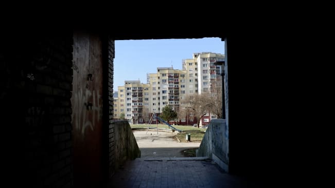
Architecture in Sarajevo
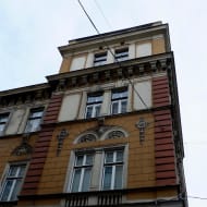
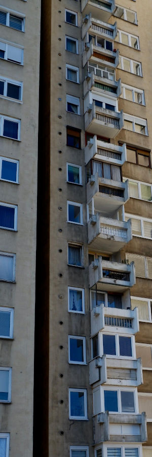
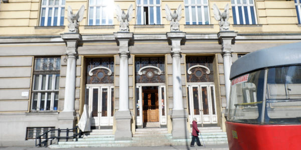
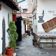
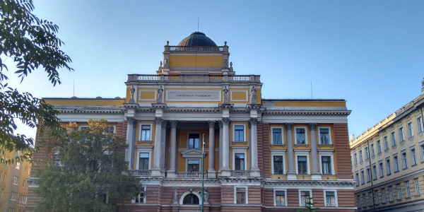
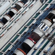
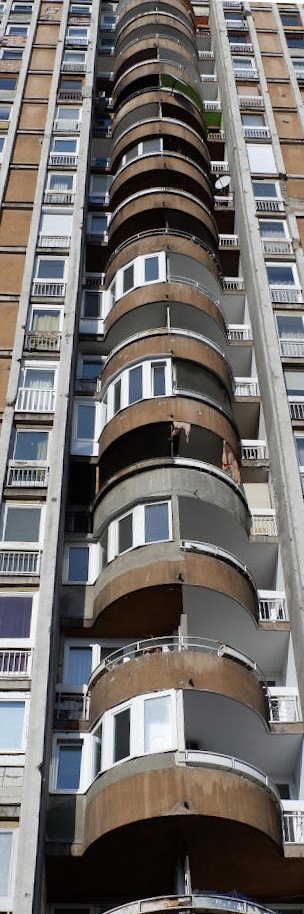
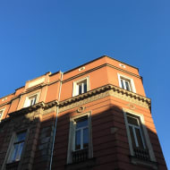
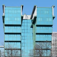
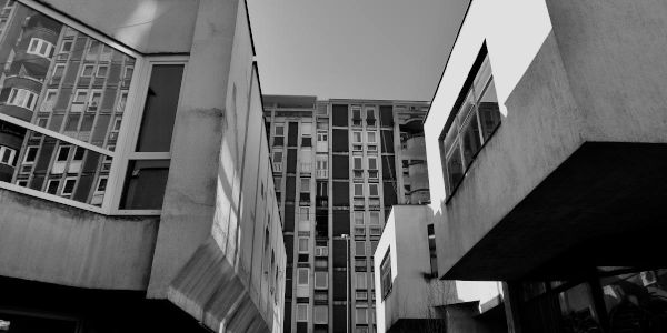
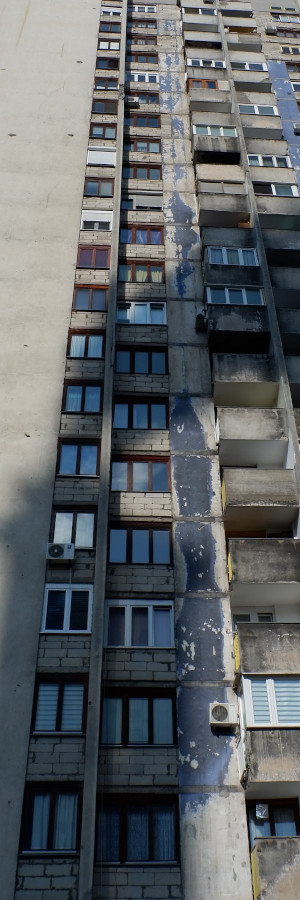
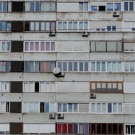
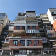
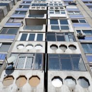
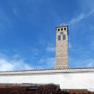
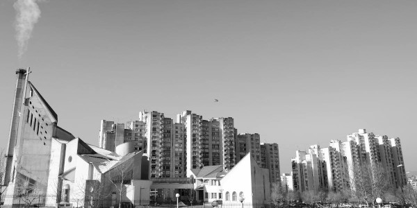
Being a relatively linear city, stretched along the banks of the Miljacka river, Sarajevo lends itself well to being transected. It's possible to walk from Alipašino polje (in Sarajevo’s west) to Baščaršija (in Sarajevo’s east). The former, an impressive example of 1970s brutalist, socialist, Yugoslavian architecture, the latter, an Ottoman neighbourhood. In between the transect passes typically grand Austro-Hungarian buildings. The entire city is in varying states of decay and new buildings continue to spring up here and there, waiting for their turn to tell a story.
The map below indicates one possible route you could take. It's 11km and should take about 2.5 hours and give you a great feel for the city. Having said this, if you don't want to invest quite so much time, you may wish to take a tram for segments (most notably from the RTV tram stop to Dolac malta tram stop in Grbavica) and a taxi for others (most notably from Baščaršija up to the White Fortress).
If you want to learn more this article on the architecture in Sarajevo breaks it down into Medieval, Ottoman, Austro-Hungarian (including Moorish Revivial architecture, Art Nouveau, Secession, and Bosnian Styles), Royalist Yugoslav architecture, Socialist Yugoslav architecture, and post-war reconstruction and preservation.